

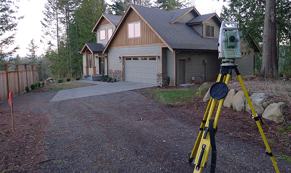
Records of Survey
We create official 18”x24” maps that represent surveys made on the ground which delineate the deed described lines along with any and all relevant survey items. These maps are recorded with the County Auditor and made of Public Record. Almost all surveys require an R.O.S (RCW 58.09)
Short Plat & Long Plat Surveying
We will assist with land surveying and lot surveying within the process imposed by local jurisdictions to subdivide and create multiple parcels of land from one larger parcel. This allows for a property to reach its maximum real estate value and often requires improvements such as water, sewer/septic, and roads to be put in place prior to completion.
Boundary and Lot Line Adjustments
We will measure and record professional land surveying adjustments that can be used to easily resolve disputes with neighbors over property lines, enhance buildable areas of properties, or reconfigure multiple parcels of land into more desirable configurations.
Elevations Certificates
Any individual or business residing in or near designated flood zones should strongly consider having an Elevation Certificate prepared for them. We can assist in this process that often leads to the reduction of National Flood Insurance Program premium costs.
ALTA/NSPS Mapping
ALTA/NSPS Land Title Surveys must adhere to national land surveying standards put forth by the National Society of Professional Surveyors (NSPS) and the American Congress on Surveying and Mapping (ACSM). These standards, adopted by the American Land Title Association (ALTA), seek to establish a common standard for commercial real estate transactions and require a more detailed report than a typical boundary survey.
Right of Way Plans
We manage boundary surveys which depict the limits of private ownership and that of the entity/agency that has the interest of jurisdiction of the property. Whether it be for Washington state, Whatcom county, or Bellingham, we verify Right of Way Title within various sources including eminent domain, acquisition, dedication, and maintenance. We manage all necessary land surveying government filings and map updates.
Legal Descriptions and Easements
An easement is typically a use established by one person over another person’s property. We will assist in the legal creation of such, by creating a written document describing the easement with any accompanying exhibit maps necessary.
