Municipal Capital Projects and Existing Conditions Base Mapping
We prepare and provide large scale survey topographic mapping for local cities and counties. These maps are used as benchmarks to plan and design civil improvements for the public community.
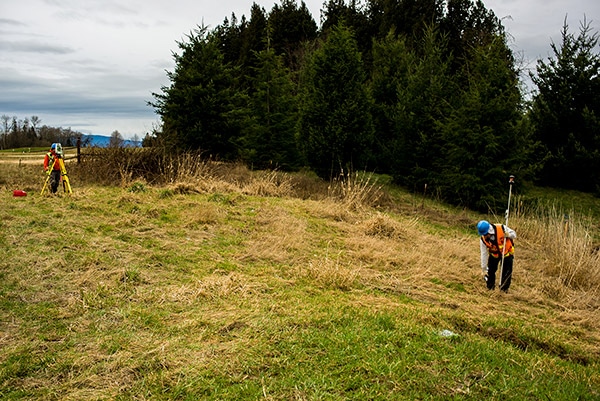
Wetland Flag Locations and Mitigation Plan Staking
We work closely with wetlands biologists and environmental consultants to locate and provide topographic mapping services to delineated wetlands. We can provide the necessary field locations once mitigation plans are prepared and approved by all vested parties.
AutoCAD Digital Files with XML Surface Creation
The most important part of any engineering and construction project is accurate and useable digital information. We can provide this quality topographic mapping information to engineers, architects, general contractors, and others, in various file formats.
Bathymetric Mapping and River Cross Sections
Bathymetry is the study of underwater depth of lakes, oceans, and rivers. Our firm has the ability to not only gather accurate underwater data but then turn that information into comprehensive mapping and easy-to-use point data files.
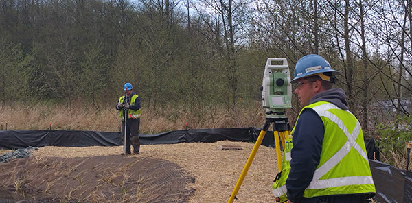
GPS Control and Topographic Mapping
Global positioning system (GPS) is a network of satellites that orbit the earth and send signals to GPS receivers and navigation devices, giving them precise locations and speeds. GPS control and surveying allows us greater flexibility in the way we survey and invariably results in significant cost savings to the client and others.